
Way of Saint Clare and Saint Rita in Umbria - Cammini d'Umbria

The Saint Clare and Saint Rita Way
From Montefalco to Cascia - An Augustinian pilgrimage through the Umbrian Valley and the Valnerina, following in the footsteps of Saint Clare of the Cross and Saint Rita.
The Saint Clare and Saint Rita Way
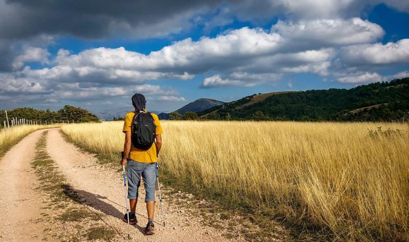
WalkingThe Saint Clare and Saint Rita Way connects Montefalco to Cascia in seven stages. Dedicated to the two Augustinian saints, it begins in the places associated with Saint Clare of the Cross and crosses the Umbrian Valley, the Fascia Olivata and Spoleto.
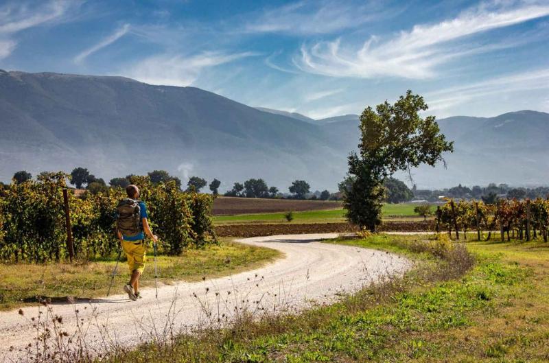
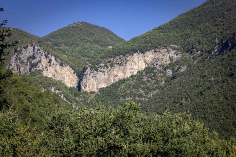
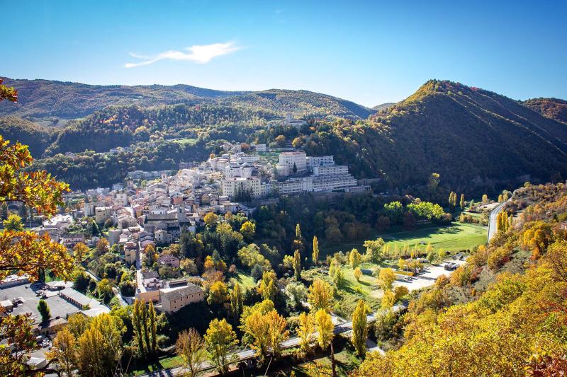
It then climbs the wooded slopes of Monteluco before descending into the Valnerina, following the Nera River through Ceselli, Scheggino, Sant'Anatolia di Narco, Castel San Felice and Vallo di Nera. From the Mucciafora plateau, the route reaches Roccaporena and ends in Cascia, in the places linked to Saint Rita. Redesigned between 2022 and 2023 from the former Sentieri di Rose route, the itinerary combines historic villages, rural landscapes, woodlands, mountain trails and places of deep spiritual significance.
View details on KOMOOT
👉 Discover more about the trail
-
Unpaved road
-
Asphalt
-
Trails
The first stage begins in Montefalco, a town closely associated with Saint Clare of the Cross.
Leaving the historic centre and the landscape of Sagrantino vineyards, the route descends into the Spoleto Valley and reaches the Sanctuary of Madonna della Stella. It then continues across farmland and through historic villages, passing Castel San Giovanni and Beroide and encountering ancient mills, including the Torre di Azzano mill. The stage ends in Campello sul Clitunno, in the area of the Clitunno Springs and the Temple of Clitumnus.
-
Unpaved road
-
Asphalt
-
Trails
After visiting Campello Alto, the route continues along the Way of St. Francis, immersing walkers in the landscape of the Assisi–Spoleto Olive Belt. The itinerary alternates between paved roads, gravel tracks and footpaths, passing through Lenano, Poreta, Bazzano Superiore, Bazzano Inferiore and Eggi. Along the way, wide views open over the Spoleto Valley and the Martani Mountains. Beyond Eggi, where the Church of San Michele Arcangelo is well worth a visit, the final kilometres lead into the historic centre of Spoleto.
-
Unpaved road
-
Asphalt
-
Trails
After visiting Campello Alto, the route continues along the Way of St. Francis, immersing walkers in the landscape of the Assisi–Spoleto Olive Belt. The itinerary alternates between paved roads, gravel tracks and footpaths, passing through Lenano, Poreta, Bazzano Superiore, Bazzano Inferiore and Eggi. Along the way, wide views open over the Spoleto Valley and the Martani Mountains. Beyond Eggi, where the Church of San Michele Arcangelo is well worth a visit, the final kilometres lead into the historic centre of Spoleto.
-
Unpaved road
-
Asphalt
-
Trails
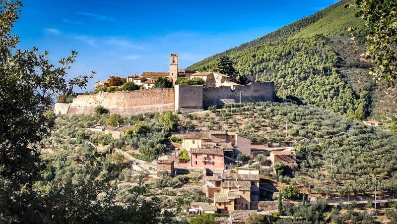
Leaving Ceselli, the route follows the course of the Nera River through the landscapes of the GreenWay. It reaches Scheggino, a village built along the river, before continuing to Sant'Anatolia di Narco and Castel San Felice, home to the Abbey of Saints Felice and Mauro. The itinerary alternates between paved roads, footpaths and short gravel sections, offering several opportunities to stop in the villages along the way. The stage ends in Vallo di Nera, a fortified village in the Valnerina.
-
Unpaved road
-
Asphalt
-
Trails
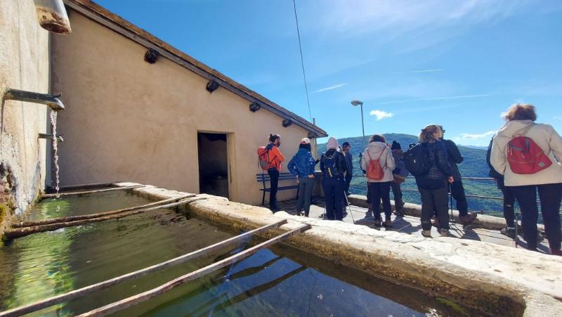
Leaving Vallo di Nera, the route begins a long ascent almost entirely on unpaved roads. It gradually gains elevation until reaching 1,175 metres, the highest point of the whole itinerary. From the plateau, panoramic views extend towards Mount Terminillo and Mount Vettore. The stage ends in Mucciafora, a hilltop village in the municipality of Poggiodomo, characterised by its stone houses, historic fountains and strong sense of community.
-
Unpaved road
-
Asphalt
-
Trails
Leaving the village of Mucciafora, the route descends through woodland along the "99 Svorte" trail, among downy oaks and ancient dry-stone walls. After reaching the valley floor, it crosses the Tissino Stream at a ford, whose passability may vary considerably after heavy rainfall. The subsequent climb leads to the plateau and then to Roccaporena. According to the route manager, the detour to the Hermitage of Stella is currently closed due to a landslide, pending restoration works.
-
Unpaved road
-
Asphalt
-
Trails
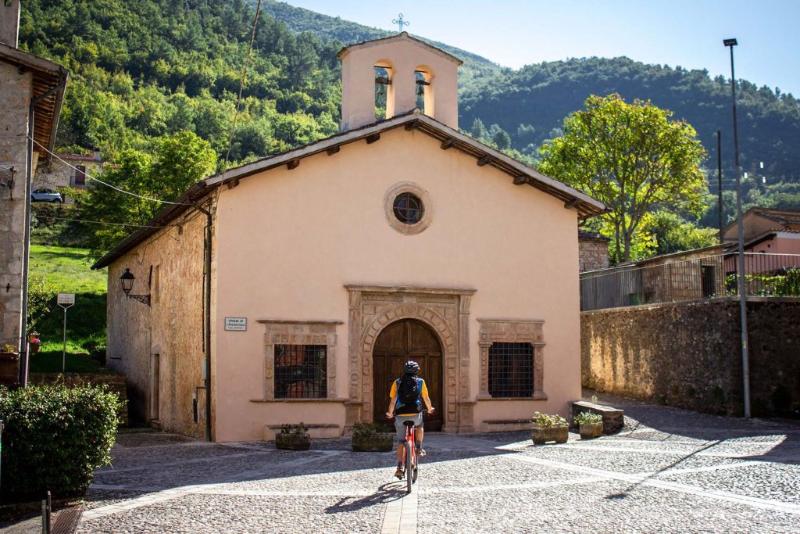
The final stage starts in Roccaporena and reaches Cascia along the Saint Rita Trail. The official website presents this section as an itinerary through the places where Saint Rita lived and carried out her mission, now frequented by pilgrims and visitors interested in nature and spiritual tourism. In Cascia stands the Basilica of Saint Rita, also indicated as the reference point for requesting the pilgrim credential.
Elevation gain/loss
+ 3.134 m | − 2.929 m
Distance
91,5 Km
Duration
30 hr 17 min (6–7 days)