
Cammino dei Borghi Silenti sui Monti Amerini - Cammini d'Umbria

The Silent Villages Way
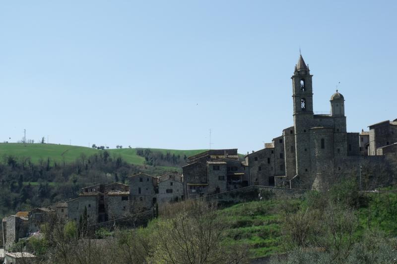
Walking route - A circular walking route of about 90 km through the Amerini Mountains, passing medieval villages, woodlands and open landscapes, with both the start and finish in Tenaglie.
The Silent Villages Way
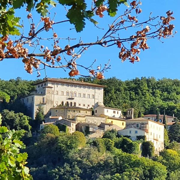
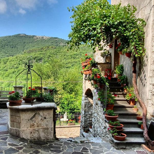
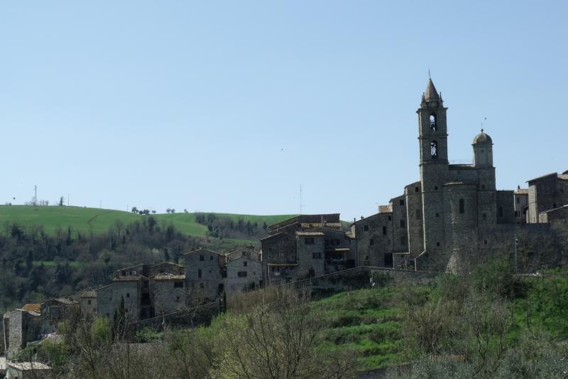
WalkingThe Silent Villages Way winds through the province of Terni, on the northern slopes of the Amerini Mountains, around Monte Croce di Serra, which rises to almost 1,000 metres.Divided into five stages, it crosses an unspoilt landscape of holm oak and chestnut woods, open countryside and small medieval villages.
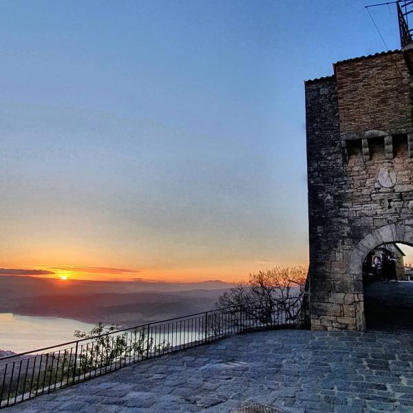
The route follows gravel roads, mountain paths and short stretches of quiet paved roads, while the silence of the places it passes through is one of its defining features. Panoramic viewpoints offer sweeping views over the surrounding valleys as far as Lake Corbara. The official website also suggests alternative stage endings to allow different daily walking distances.
👉 Discover more about the trail
-
Santa Restituita : 17,5 Km
-
Toscolano : 19,5 Km
-
Melezzole : 23,5 Km (long variant 29 Km)
-
Unpaved road
-
Asphalt
-
Trails
The first stage of the Silent Villages Way begins in the charming village of Tenaglie. From here, the route passes by Poggio Vecchio Castle, which has remained virtually unchanged for over a thousand years, before continuing towards Guardea.
The trail climbs into the Amerini Mountains and then descends to the village of Santa Restituta, the first possible end point of the stage. Continuing north, the route reaches Toscolano and Melezzole; for the latter, a longer variant is also available
-
Morre : 17,2 Km
-
Collelungo : 18,2 Km
-
Acqualoreto : 24 Km
-
Unpaved road
-
Asphalt
-
Trails
From the village of Melezzole, the route climbs towards Posta del Prete and reaches Monte Croce di Serra, a panoramic viewpoint overlooking both sides of the mountain range.
The descent passes through a chestnut woodland with a picnic area before reaching the hamlet of Morruzze and then Morre. The official website indicates Morre, Collelungo and Acqualoreto as possible end points for the stage.
-
Civitella del Lago : 15,3 Km
-
Cerreto : 19,8 Km
-
Unpaved road
-
Asphalt
-
Trails
From Morre, the route follows paved and gravel roads towards Acqualoreto, then enters the woodland on a footpath leading to the Hermitage of Pasquarella. The accompanying document indicates picnic tables and a water fountain here. After a short uphill section, the route reaches Scoppieto and Civitella del Lago. The official website also proposes continuing on to Cerreto.
-
Unpaved road
-
Asphalt
-
Trails
The fourth stage starts in Civitella del Lago, passes through the village of Cerreto and continues towards Baschi. The accompanying document describes a landscape of wheat and sunflower fields, olive groves and vineyards, with Lake Corbara in the background. The stage ends in the historic centre of Baschi.
-
Unpaved road
-
Asphalt
-
Trails
The final stage leaves Baschi and reaches the Umbrian-Etruscan necropolis of Vallone di San Lorenzo. The accompanying document describes a guided route with rest areas. The route then continues to the village of Montecchio before returning to Tenaglie, the starting and finishing point of the entire Silent Villages Way.
Elevation gain/loss
+3.200 m | −3.200 m
Distance
90 Km
Duration
4–5 days