
Big Bench Route: giant benches walk in Umbria - Cammini d'Umbria

Big Bench Route
The Big Benches Trail - A circular route linking six villages in the municipality of Montecastrilli, discovering six Big Benches, castles, woodlands, badlands and the rural landscapes of southern Umbria.
Big Bench Route
WalkingThe Big Bench Route, also known as the Big Benches Trail, is a circular itinerary entirely within the municipality of Montecastrilli.
The route connects the main town with the hamlets of Farnetta, Castel dell'Aquila, Quadrelli, Casteltodino and Collesecco, with each village associated with one of the six Big Benches that are part of the Big Bench Community Project. The stages cross cultivated countryside, rolling hills, woodlands and landscapes shaped by badlands and small waterways, passing castles, historic villages and scenic viewpoints. The route can be completed over several days by following the six official stages or enjoyed in a flexible, modular way according to individual preferences. Along the itinerary, selected venues provide official stamps for both the walking credential and the Big Bench Passport.
View the route details on KOMOOT
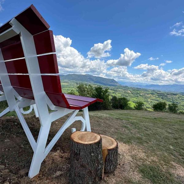
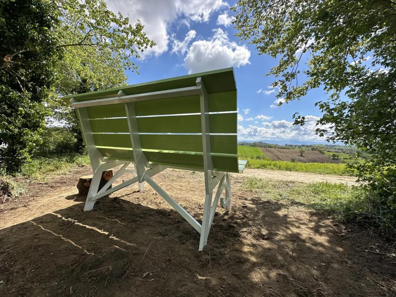
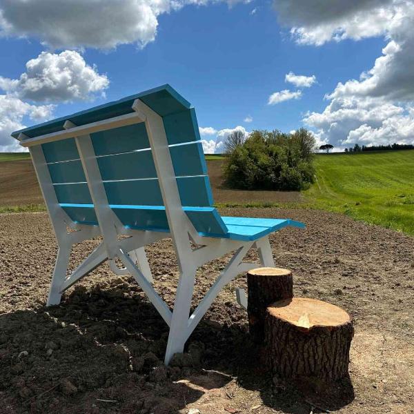
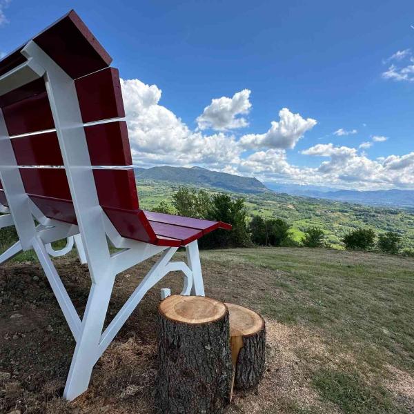
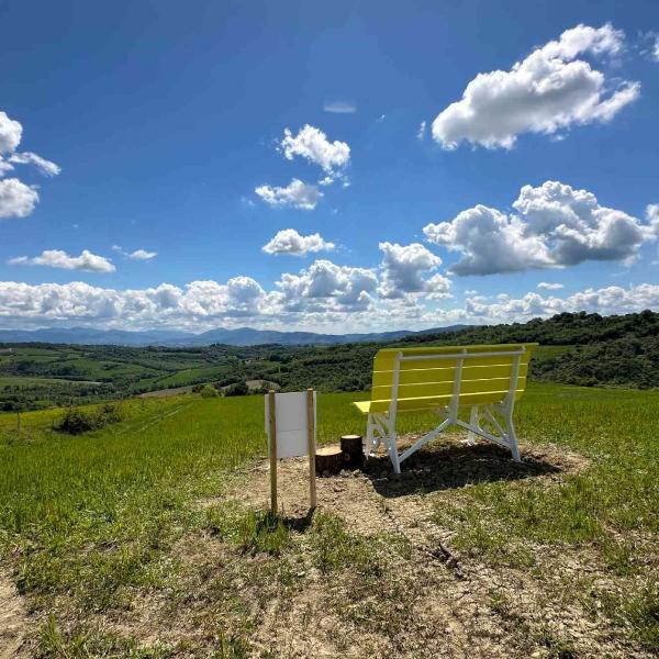
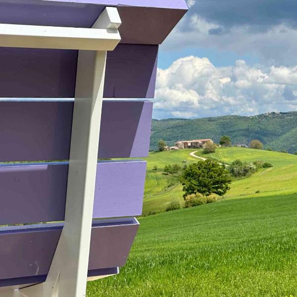
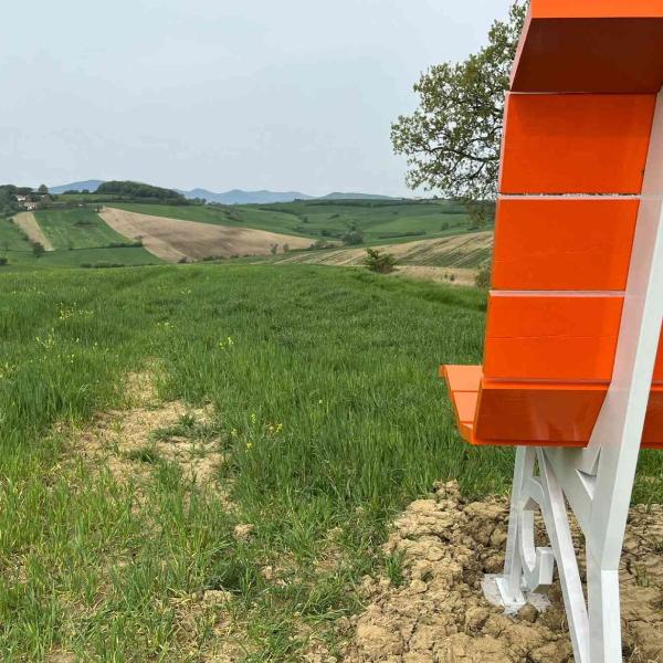
The Big Bench Route – Complete Route offers the opportunity to experience the entire trail as a single circular itinerary through the municipality of Montecastrilli. The route passes through the villages of Farnetta, Castel dell'Aquila, Quadrelli, Casteltodino and Collesecco, each associated with one of the Big Benches of the Big Bench Community Project. Crossing cultivated countryside, rolling hills, woodlands, badlands and historic castles, the itinerary showcases the distinctive rural landscapes of southern Umbria, with panoramic viewpoints and places of historical interest throughout. It can be completed over several days or tackled in its entirety by experienced hikers.
The first stage begins at the Big Bench Route Infopoint in Via Tenente Franco Petrucci, Montecastrilli, and heads towards Farnetta.
The route crosses a gently rolling agricultural landscape before reaching the Frainetto woodland, an area of natural interest characterised by the presence of Hungarian oak (Quercus frainetto). At kilometre 3.8, walkers reach Big Bench #346, positioned along the historic route of the Via Amerina and overlooking the surrounding hills and the skyline of Montecastrilli. The stage continues to the village and castle of Farnetta, the first destination along the circular itinerary.
Leaving Farnetta, the trail continues towards Castel dell'Aquila along one of the longest stages of the itinerary.
The official route follows the edge of the ancient Via Amerina, a historic route that today is also incorporated into the Cammino della Luce. At kilometre 7.3, walkers reach Big Bench #343, located in a gentle valley landscape characterised by small streams, historic springs and traditional watering troughs, reflecting the area's rural heritage. The route then continues through the Umbrian countryside towards Castel dell'Aquila, a fortified village situated between the municipality of Montecastrilli and the Colli Amerini. Owing to its length, this stage requires careful planning of water supplies, refreshment stops and walking times.
The third stage leads from Castel dell'Aquila back to Montecastrilli, forming the longest section of the entire circular route.
The trail crosses the rolling Umbrian countryside and reaches Big Bench #341 at kilometre 9.7. The bench stands on an agricultural ridge overlooking the Terni Valley, the Fosso Bianco badlands, and the historic villages of San Gemini and Cesi. The official route also highlights views across the area once occupied by Lake Tiberino and recalls the site of a castle destroyed by the condottiero John Hawkwood, known in Italy as Giovanni Acuto. The stage ends in the historic centre of Montecastrilli, completing the first part of the itinerary.
The fourth stage starts in Montecastrilli and leads to the fortified village of Quadrelli.
According to the official route, this stage is suitable for all walkers and features only a moderate elevation gain. At kilometre 3.7, the trail reaches Big Bench #344, set on a hillside surrounded by woodland. The landscape is shaped by the Fosso Bianco stream and the distinctive badlands carved along its course. From the bench, visitors can enjoy views stretching to Monte Sant'Erasmo, in the Terni area, and as far as Monte Terminillo in the Lazio region. The stage then continues to Quadrelli and its historic fortified settlement.
The fifth stage connects Quadrelli with Collesecco, passing through Casteltodino and crossing a landscape of cultivated farmland and historic fortified villages. The route is approximately 9 kilometres long, with elevation gain concentrated in a few hilly sections. At kilometre 4.5, walkers reach Big Bench #342, located a short distance from the historic centre of Collesecco. From the bench, visitors can admire the surrounding agricultural landscape, the village itself and, on clear days, the historic skyline of Todi in the distance. This stage offers an excellent introduction to the polycentric character of the Municipality of Montecastrilli, linking three hamlets through rural roads and wide panoramic views.
The final stage starts in Collesecco and completes the circular route back to Montecastrilli. The trail crosses gentle hills and cultivated farmland, offering broad views of the rural landscape that characterises the municipality. At kilometre 4.7, walkers reach Big Bench #345, located near Casteltodino in an area of cereal fields and marked by the presence of a centuries-old tree. After this panoramic stop, the route continues to Montecastrilli, where the Big Bench Route Infopoint and the main services related to the walking credential are available. Short and with only a moderate elevation gain, this stage completes the connection between the six Big Benches and the six villages of the Big Bench Route.
Elevation gain/loss
+1.430m | −1.420 m
Distance
83,5 Km
Duration
22h 59m